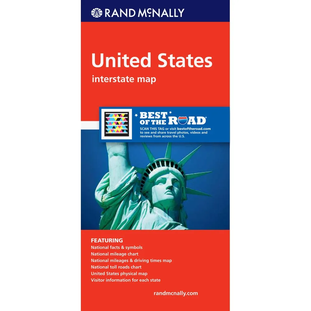
Easy to Read: United States (USA)
Rand McNally's United States folded map features clear, easy-to-read cartography showing all Interstate and U.S. highways, along with clearly indicated cities, points of interest, airports, boundaries, and more.
Interstate and U.S. highways
Indications of cities, points of interest, airports, boundaries, and more
Mileage chart
Mileage & driving times map
National facts and symbols
Toll roads chart
United States physical map
Visitor information
SKU | 0528881280 |
Coverage Area | No |
Product Details | Measures 4.125" x 9" and folds out to 25.5" x 36.75". |


 | Suitable For: 1-2 persons")
")
